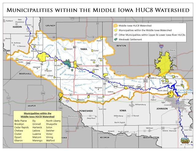
Middle Iowa Watershed
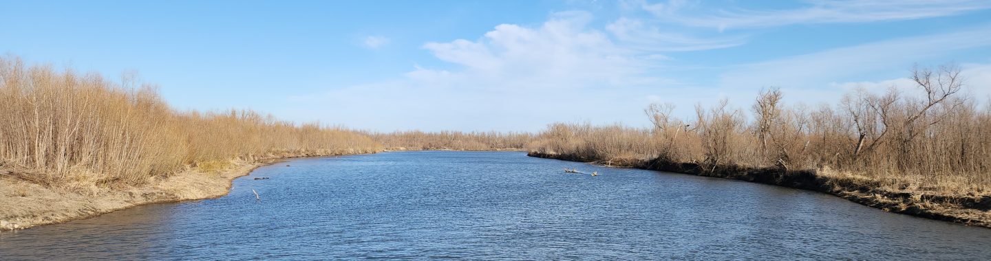
The Middle Iowa watershed begins north of Marshalltown, after the Minerva Creek joins the Iowa River. The Iowa River then flows southeast to the outlet of the Middle Iowa Watershed at the Coralville Reservoir.
While the majority of the watershed is agricultural land, nearly 10% is forested, 7% is developed, and 6% is open water or wetlands. Natural spaces around rivers are abundant in the watershed, with over 45,000 acres of recreational land and water.
Significant Natural Spaces in the Middle Iowa
- Hawkeye Wildlife Management Area
- Iowa River Wildlife Management Area
- Coralville Reservoir
- Otter Creek Wildlife Area
- Lake Macbride State Park
The watershed is home to several threatened or endangered species, including the eastern prairie fringed orchid, northern long-eared bat, and the eastern massasauga (threatened) as well as the endangered Indiana bat, Higgins eye, and rusty patched bumble bee.
Protection of surface water quality and groundwater used for drinking water is a priority for local watershed managers. Additionally, flooding has been a major issue in the Iowa River Basin. The Middle Iowa Comprehensive Watershed Management Plan sets goals to protect and restore water resources as well as add water storage to mitigate flooding.
Lakes in the Middle Iowa
- Green Castle Lake
- Union Grove Lake
- Otter Creek Lake
- Hannen Lake
- Lake Macbride
- Coralville Reservoir
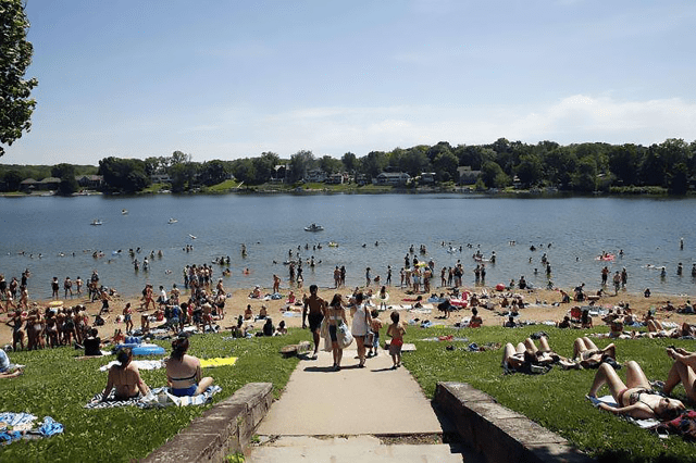
Photo Credit: The Gazette
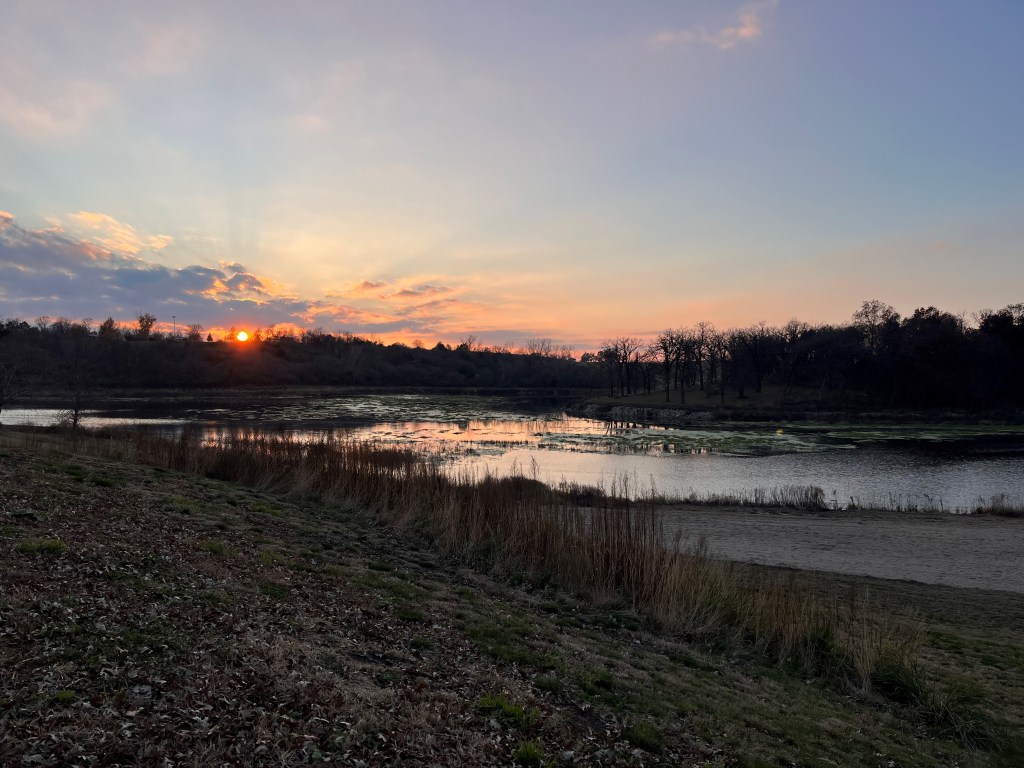
Photo Credit: Middle Iowa WMA
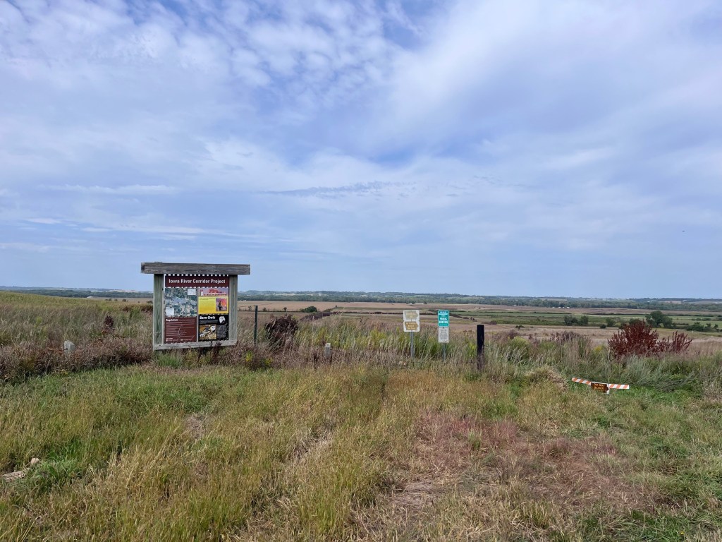
Photo Credit: Middle Iowa WMA
Designed with WordPress
